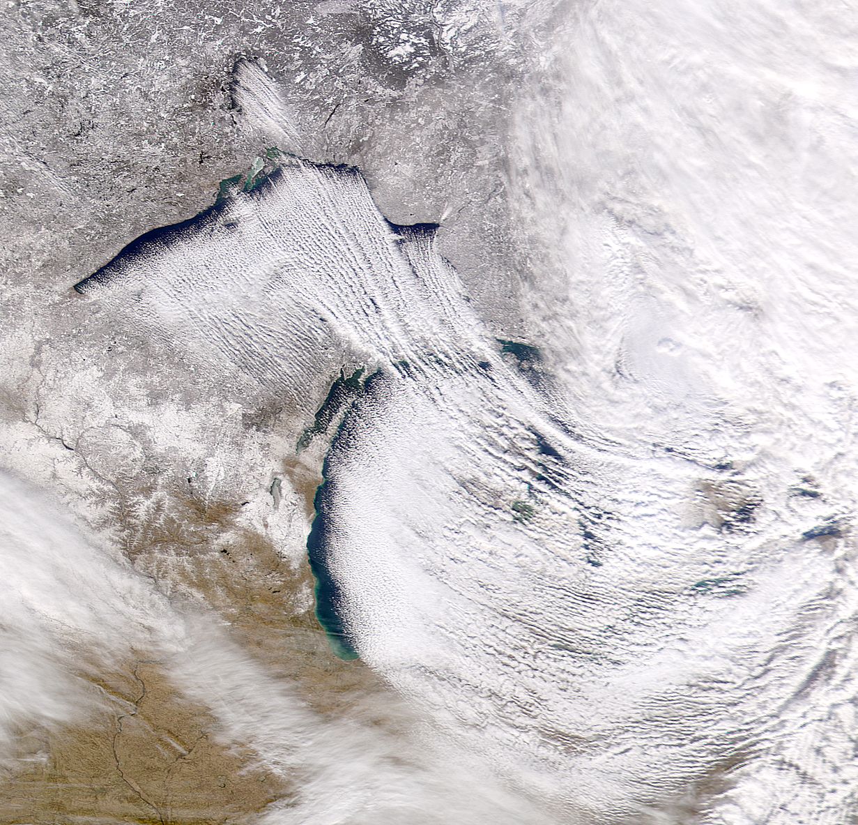
Lake effect snow refers to a type of snowfall which is localized and happens when a mass of cool air moves over a body of water that is warmer, and produces a temperature profile in the area’s atmosphere that can be considered as unstable. When this occurred, clouds form over the lake and transform into snow showers and storms. When higher elevations that are downwind of the body of water causes the cold air to rise even higher, the snow produced will be greater, as well as the intensity of the lake effect snow.
This type of snowfall is most likely to occur in places wherein the extremely cold Arctic area moves over warmer water, such as what commonly happens in the region of the Great Lakes during the winter season. The winds that come with the masses of Arctic air typically travel from a northwest or west direction, which results to lake effect snow occurring in the southeastern or eastern side of the lake.
Some of the factors that affect the amount of snow that will be produced include the direction of the wind, the magnitude of the difference in temperature between the cold air and warm water, as well as the duration by which the wind blows in a particular direction. Compared to the snow that was produced by nimbostratus or frontal stratus clouds, the snow that is formed in this type of snowfall is lighter.
In Tug Hill Plateau, which is located at the east side of Lake Ontario in New York State, the residents may experience up to 300 inches of snow. Similarly, in West Virginia, the mountains can accumulate around 200 inches of snow due to the lake effect. The Great Salt Lake which is located in Utah is another example of lake which can form a great deal of lake effect snow in the US.